Measurement & Roguing overview
29.05.2019
Measuring, Monitoring & Hand Roguing
If you don’t know the extent of your black-grass infestation, you won’t know If your efforts are making a difference, or even worse, if the black-grass population are increasing. It’s all too easy to put your head in the sand when tackling a daunting task. But there are two simple routes to get ahead and find out what you’re up against; take to the air with latest drone technology, or do it the good old fashioned way and map it by hand.
Mapping with drone technology is certainly the more accurate route, and in a lot of cases is the most time efficient way, avoiding long walks through fields with a soggy map. Not everyone feels comfortable with new tech, so it is possible to hire in expert drone flyers, who can assist you with applying the correct filters to identify black-grass and other weeds.
However, a lot of agronomists and growers are going it alone, investing in the tech and the skills so they can be used throughout the year. To really unlock the potential, try looking for software that can link up what you find in your fields directly to the farm management system you are using.
Depending on the outcome, drone data can help show you accurately where your biggest problems are, and in some case show the cause of spread, like where a combine has spread black-grass seed.
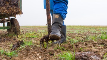
The most important thing is to ensure that you ‘ground truth’ the data, which simply means getting out and seeing for yourself what the data shows, to ensure its accuracy and for you to get a sense of how the data translates into physical infestation. This also gives you an opportunity to hand rogue when identifying lower levels, or to even patch spray with glyphosate if there is a concentrated area.
Manual measurement will never be as accurate, but it will still give you the information you require to determine the success of your control methods. The old ways are the best for some, so getting out there, map in hand, is a straight forward solution.
Using a quadrant at different points in the field, in a W shape, can give you more accurate measurements year on year. Again, field walking is the perfect opportunity for hand roguing lower infestations and helps identify the larger areas that may need more extreme control methods.
Supporting Blogs
- 30 second guide to hand rogue
- Patch spraying; When to, when not to
- Farmer guide to measuring and monitoring populations on their farm


